Balch Camp Maps
Updated: 3:52 PM 2/4/2023
When viewing these two maps remember that the "little squares" are about one mile on a side. These maps were scanned in from the USFS map of the Sierra National Forest, edition of 1991.
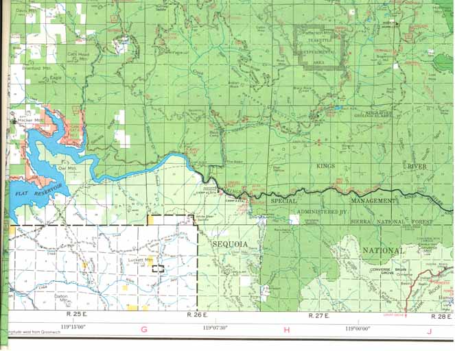 Overall area of Balch Camp
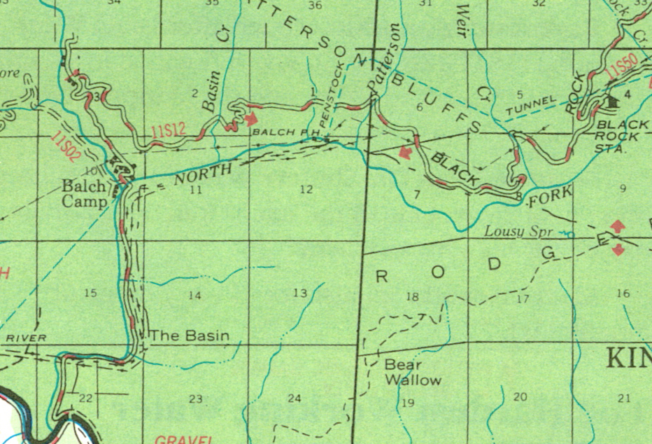 Area where we worked when we were at Balch Camp
Various pictures from The first Marijuana Garden Clean Up Trip 2005
Pictures from four different photographers
Kyle Hamilton collected pictures from three other photographers on the first Marijuana Garden Clean Up. Unfortunately he forgot to get the names of those photographers.
On the trail crew web site pictures "What you see is all you get". (Sorry I don't have the originals to link in.)
On all the rest of the pictures from the other links, if you click in the bottom right hand corner, a full size version of the picture will be obtained.
- Trail Crew Web Site
- Person 1's photographs
- Person 2's photographs
- Person 3's photographs
- Kyle Hamilton's photographs